Category: remote sensing
-
Turkey/Syria Earthquake Live Knowledge Update & Charity Guide

Turkey has recently experienced a high frequency of earthquakes, the largest being a magnitude of 7.8 near Nurdağı, Gaziantep, on February 6th, 2023. This was one of the most powerful earthquakes in the country’s history, resulting in over 22,000 deaths and significant damage across Southern Turkey and Northern Syria. The aftermath left many survivors homeless,…
-
A Roadmap from Data Science to BI via ML

The blog post presents a comprehensive roadmap to Data Science (DS), providing an overview of career prospects, the field’s intersections with Mathematics, Statistics, and Computer Science, and its business relevance. The text details the earning potential of data scientists and the steps towards becoming one, including Data Analysis, Machine Learning, and Business Intelligence. It highlights…
-
ML/AI Wildfire Prediction using Remote Sensing Data
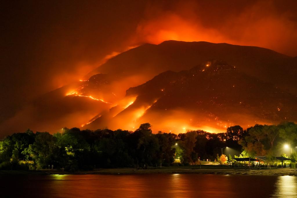
The content is a detailed exploration into the application of machine learning (ML) and artificial intelligence (AI) in predicting wildfires using a dataset acquired in Canada. It covers data preprocessing, ML workflow, exploratory data analysis (EDA), model training, performance evaluation, hyperparameter optimization (HPO), and data resampling techniques like SMOTE and ADASYN. The ML models are…
